
On August 3, on the 1st anniversary of the Shovi landslide tragedy, the Institute of Earth Sciences and the National Seismic Monitoring Center of Ilia State University published new findings on the tragedy. According to the new observations of the seismic conditions and the situation on the glacier, the Center found that had there been an early warning system in place, the information about the landslide would have been available two hours before it happened, leaving enough time to raise the alarm and evacuate the area.
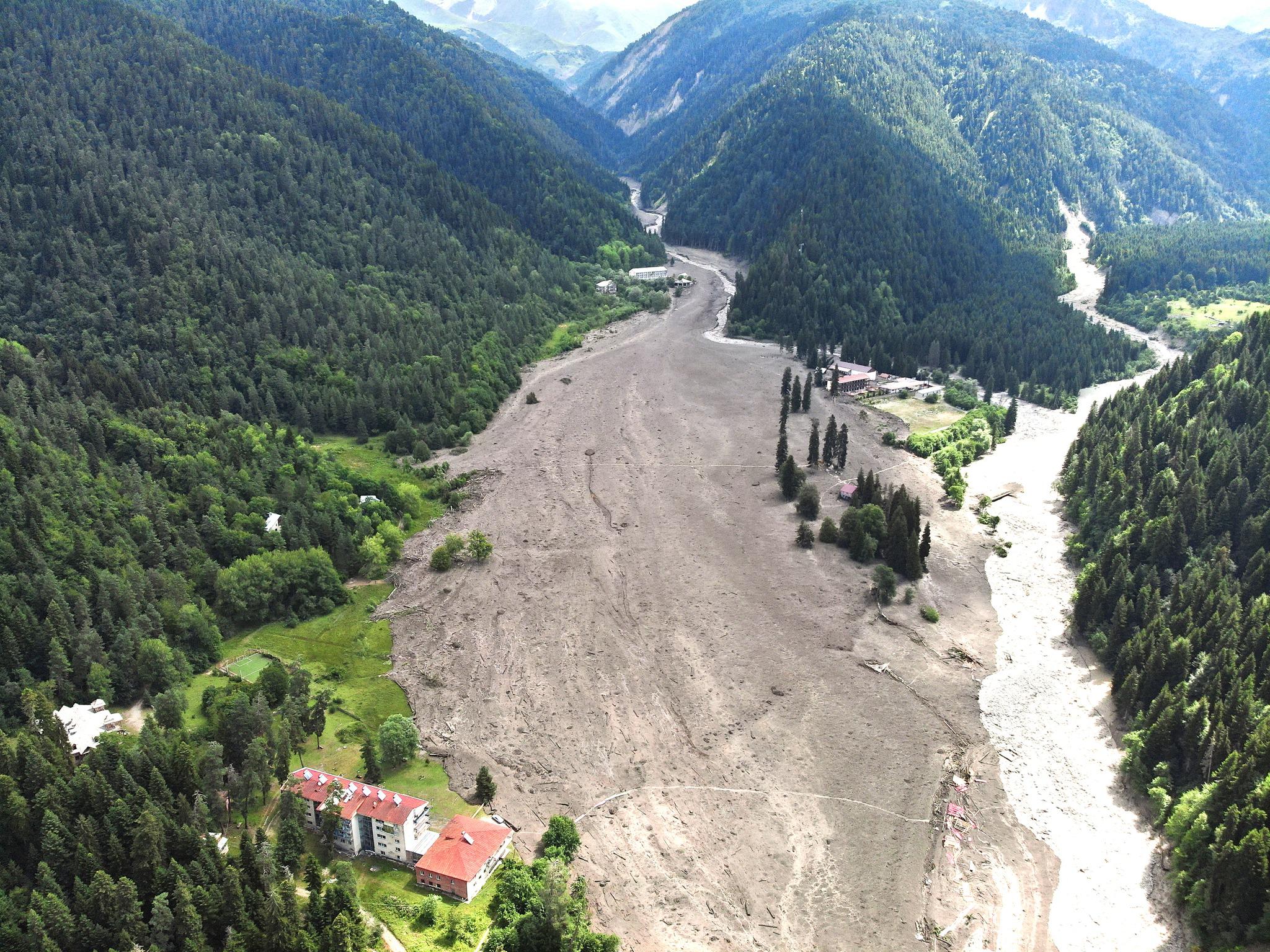
According to the Center, the landslide occurred on the steep slope southeast of the Tbilisa glacier, the height of which is 3850 meters. In total, about 1 million cubic meters of material left the center and collided with the Tbilisa glacier. Based on the analysis of satellite images of the melting process in the months of August to September from 2015-2023, the Center found that this period was characterized by small debris and/or mud flows.
According to the Center, the data before the disaster on August 3, 2023 is different from the other 8 years, showing a larger area of mud flows, which also reached their lowest point towards the ground in 2023. “This indicates the outstanding instability of the disaster hotspot in 2023 even before the start of the active rock avalanche phase,” – notes the Center.
The analysis of satellite images of 22 clear days from July 1 to August 3, 2023 shows that there were traces of melt/collapse, as well as snowfall and re-covering of the aforementioned traces, but the area of the flows shows an exceptionally sharp increase between July 20 and 21, and possibly between July 25 and 26. Although this doesn’t indicate that the disaster is imminent, these unclear signs may indicate that a disaster may occur in the future.
The Center notes that Georgia’s seismic network currently operates 49 seismic stations and 36 powerful motion detection tools. The movement of the landslide in the Bubistsklis gorge was detected to some extent by all the seismic stations, but the clearest record was taken by the Ghari station, closest to the disaster area, which has both a velocigraph and an accelerograph. According to the combined records of the two devices, the landslide movement began at 14:56, while the intensive process of rockfall development began at 13:00.
“If an early warning system had been in place, the information would have been available 2 hours earlier and an alarm could have been sounded,” – concludes the Center.
Also Read: